3D city models · Poland · LOD2.2

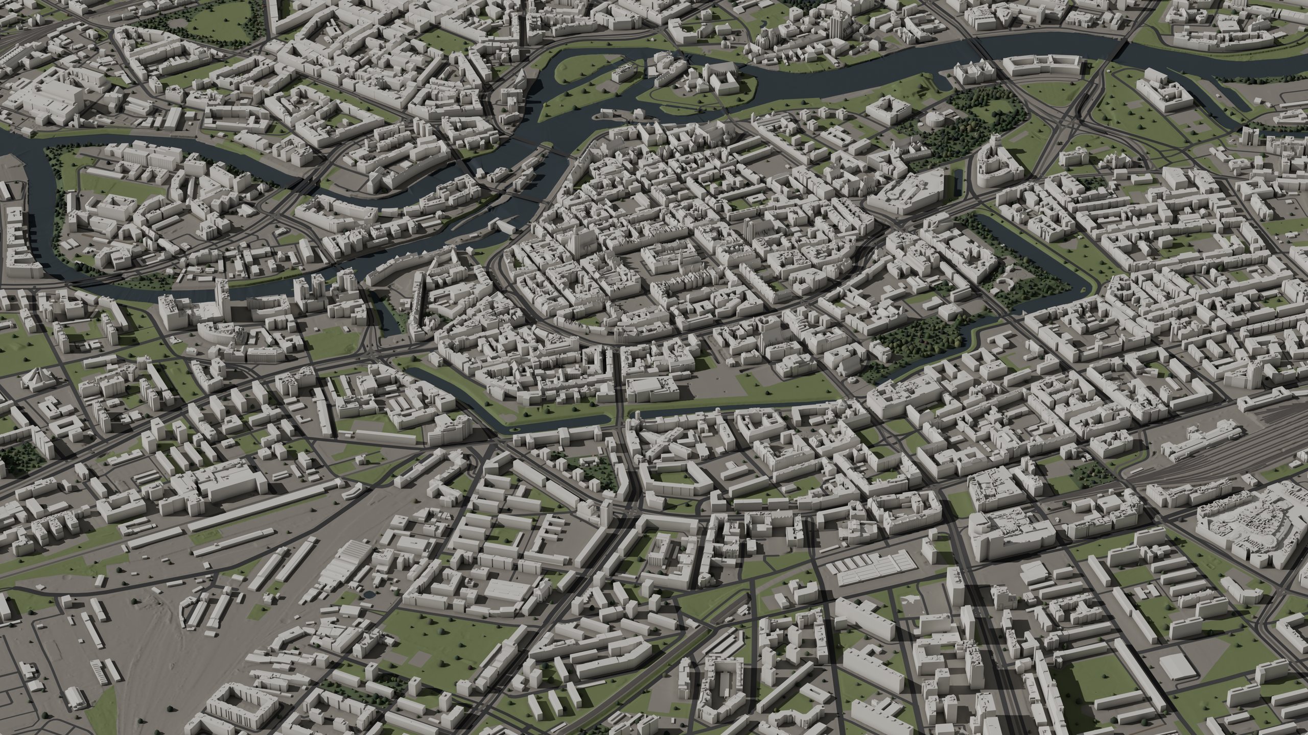
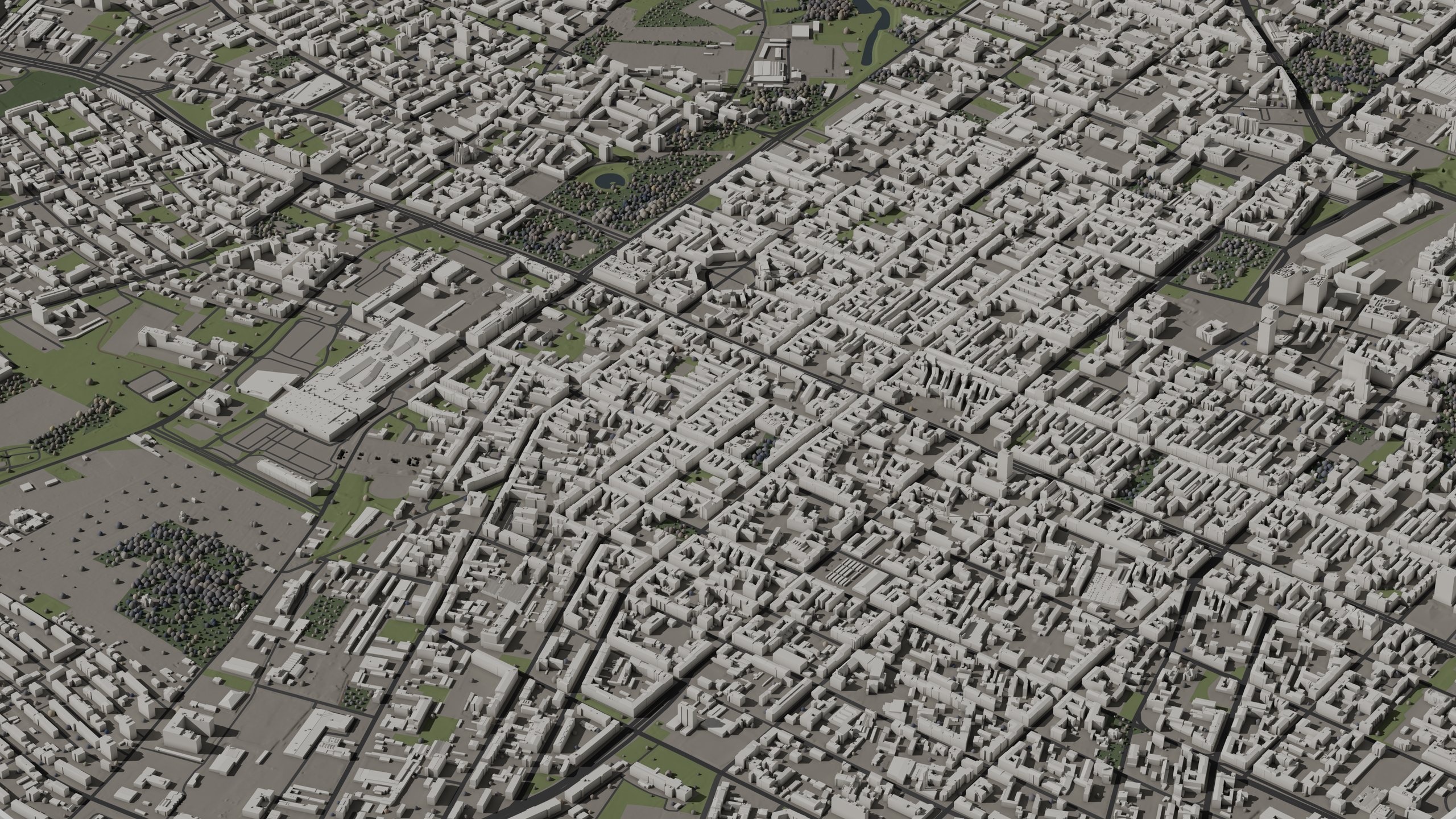
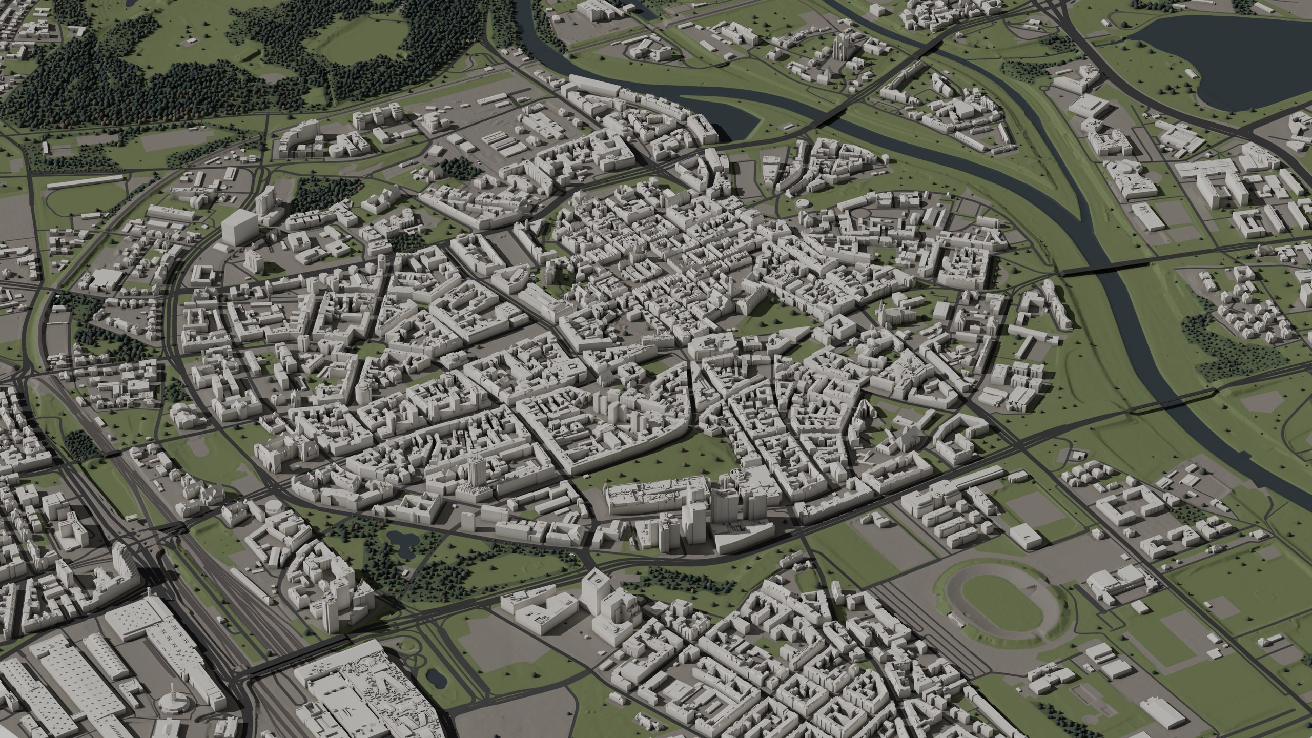
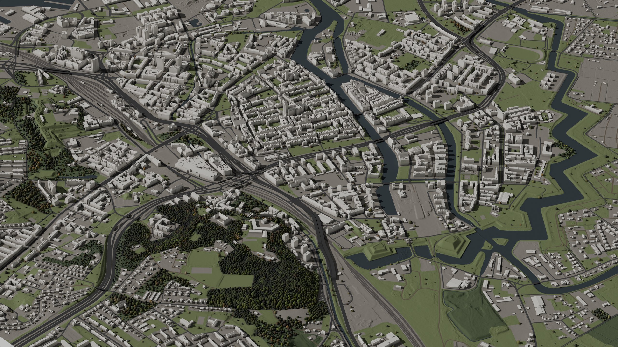
3D city models of Poland, built from national survey data.

Buildings reconstructed from airborne LiDAR on surveyed footprints, with cadastral ids. Terrain and vegetation derived from the same survey. The tiled national orthophoto is included. Eight formats per pack, plus a free 4×4 km demo ready to download.

φ 51°06′36″Nλ 17°01′57″EEPSG 2180
18 cities
at launch
LOD2.2
roofs from LiDAR
8 formats
per pack
Free demo
download now
Works withUnreal Engine 5UnityBlenderHoudiniCinema 4DCesiumJSArcGISQGIS· Formats3D Tiles 1.1CityJSONSeqFBXOBJglTFUSDUE5 heightmaps

Catalogue.

01 · Catalogue
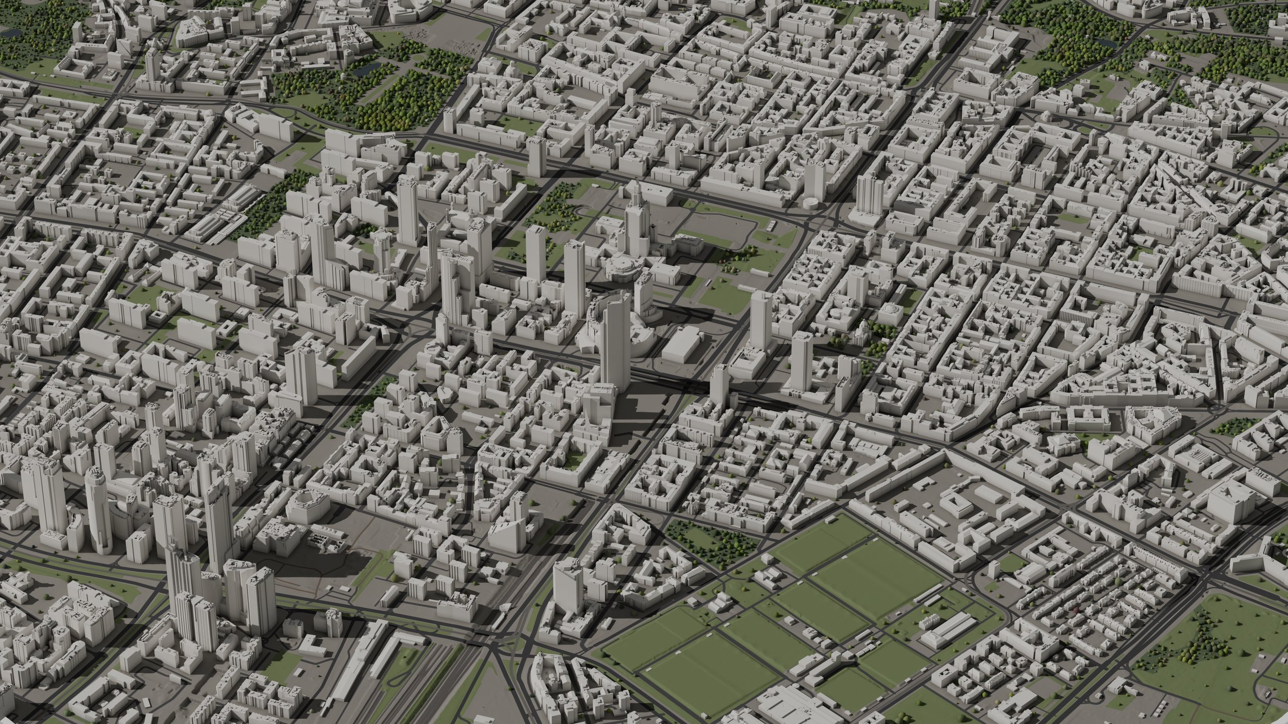
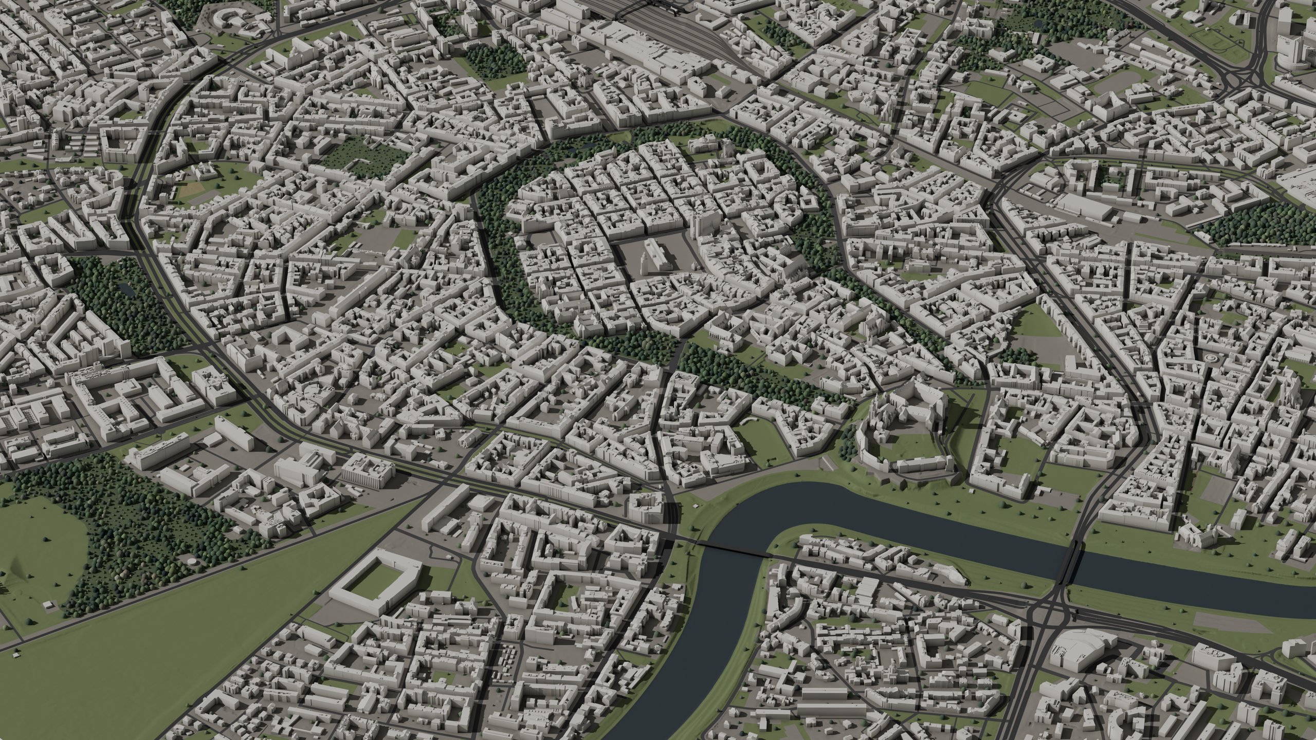
More cities coming soon.

Free demo available today.

What's in the pack.

02 · The pack

Priced by area. All formats and full detail in every tier. Prices published at launch.

3D Tiles 1.1
Streaming tileset in ECEF, for Cesium
CityJSONSeq
Semantic LOD2.2, cadastral ids
FBX
Per-cell meshes for DCCs, true scale
OBJ
Per-cell meshes, plain geometry
glTF
Per-cell meshes for web and engines
USD
Composed stage for DCC interchange
UE5 heightmaps
Quad-tiled terrain, single z convention
Orthophoto
National imagery, tiled; resolution per pack

Every archive also includes georeference.json (pack position: EPSG:2180 anchor, datum, units and cell grid) and materials.json (materials and tints per layer).

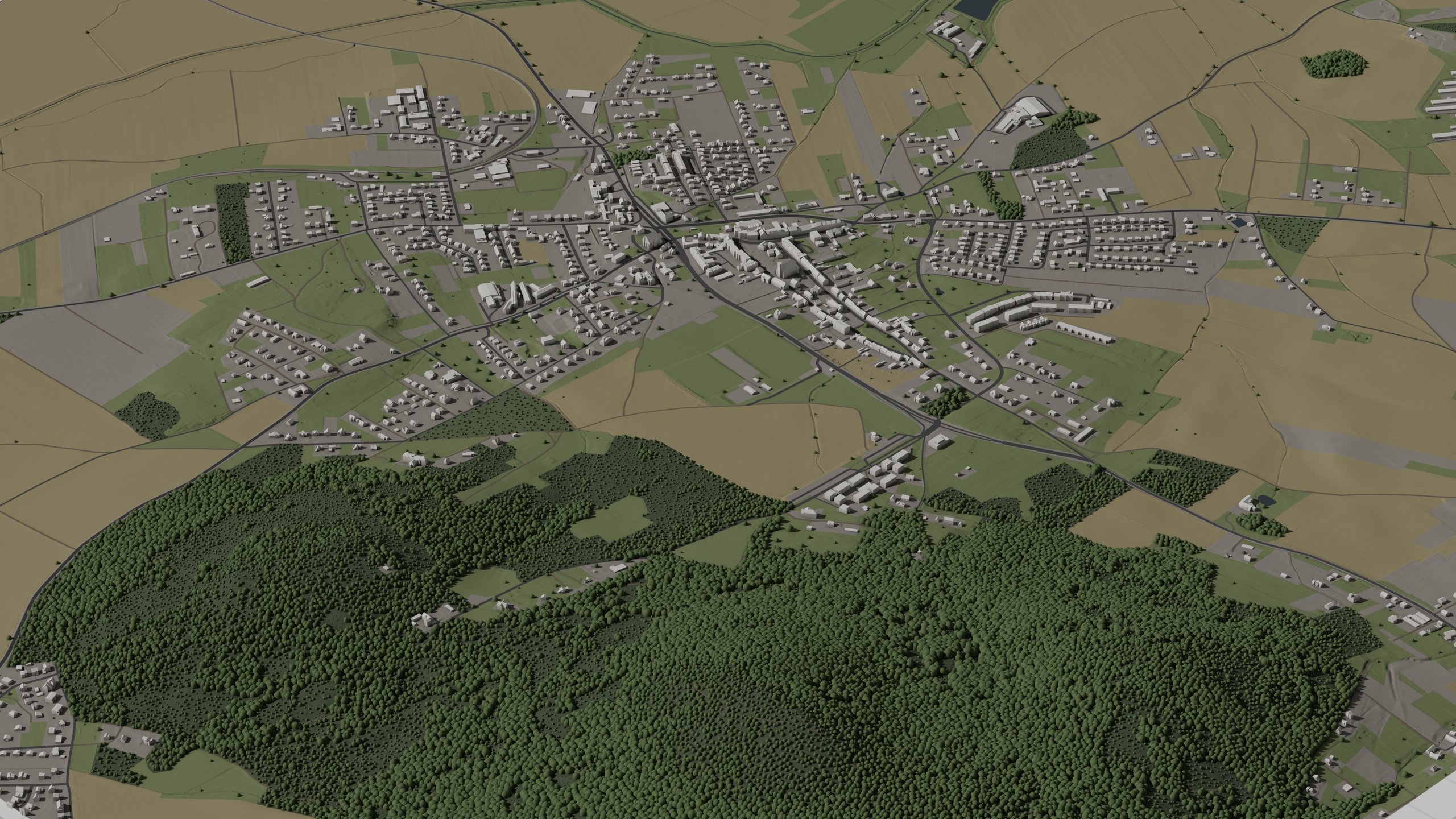
Sobótka and Ślęża 3D city model, LOD2.2, Aerial view
Demo · full packDetails → · GUGiK source data
Demo · direct download

Demo pack.

16 km², all layers, all formats. About 770 MB.

16 km²
extent
~770 MB
download
All formats
included
Free
demo pack

Use cases.

03 · Use cases
Visualisation, film and games

Meshes for engines and DCCs

Meshes for Unreal, Unity, Blender and renderers: watertight, true scale, with pivots set. Ready to import.

  • FBX / OBJ / glTF meshes per 1 km cell, plus a composed USD stage
  • UE5 heightmap terrain, quad-tiled
  • Tree instances with per-tree height and canopy tint
Planning, AEC and GIS

Georeferenced and documented, for GIS and AEC

Georeferenced buildings with cadastral ids and per-building survey dates, for site context and analysis.

  • 3D Tiles 1.1 tileset (Cesium or self-hosted)
  • CityJSONSeq; cadastral id per building
  • Build month in the pack id, survey year per layer in the manifest
  • Provenance manifest and credits per archive

Data quality.

04 · Data quality
Authoritative
Every layer comes from the national geodetic and cartographic resource: BDOT10k footprints with cadastral ids, national LiDAR at 4 to 12 points/m², the national orthophoto. Sources and campaign years per pack: the credits file.
Georeferenced
EPSG:2180 grid, heights in PL-EVRF2007-NH, metres, true scale. Anchor and cell grid: georeference.json.
Complete
Every BDOT10k footprint inside the extent is included, and the count is stated. Buildings whose shape could not be resolved from the survey are counted in the manifest.
Consistent
Closed solids. One z convention across terrain, buildings and heightmaps. A 1 km cell shared by two tiers contains the same objects under the same names in both.
Up to date
Survey year per layer: the manifest. Build month: the pack id.
Validated
Every cell is checked for scale, geometry, extent and dates before a pack is listed. Every file's sha256 is in the manifest.

Launch notification.

Want to be notified at launch?

Notify me

Request a city.

Looking for a city not on the list? Send us a request.

Request a city